Maps and Geographic Information
The M-TWG aims to present the most current offshore wind data and maps necessary for understanding the marine environment in New York’s surrounding waters. The following basemap and offshore wind “theme” maps have been extracted from the Mid-Atlantic Ocean Data Portal and the Northeast Ocean Data Portal.
*Note- If viewing this page on a mobile device, please rotate your screen and click the green arrows to hide and unhide the map legend to explore the map. Individual maps may take up to 30 seconds to load data layers from the mapping host.
Offshore Wind Basemap
The following base map from the MARCO data portal provides the Bureau of Ocean Energy Management (BOEM) active lease areas as well as existing and proposed submarine cable routes and pipeline areas. This map also displays offshore wind planned ports from 2023.
Maritime Theme Maps
The following offshore wind “theme maps” present critical datasets that inform the maritime community locally and regionally. These maps, created through the MARCO data portal, are broken down by key topic area.
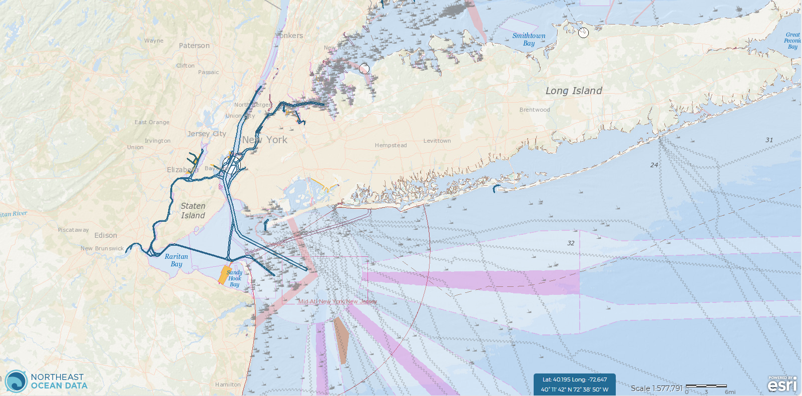
Maritime and Navigation
2023 All Vessel Transit Counts (AIS Data)
Environmental/Ecosystems
Marine Transportation (Northeast Data Portal)
Data Sources and Information
- MARCO Data Portal Data Resources: Federal, regional, state, and non-government data resources helpful for regional ocean planning efforts.
- MARCO Ocean Stories: a blend of data, maps, videos, photos, and personal perspectives from around the region.
- Northeast Data Portal Data Download: Data hosted by Northeast Ocean Data as well as external resources, focused on the Northeast region and organized by topic area.
- New York State Geographic Information Gateway: Access to geospatial information specific to New York State.